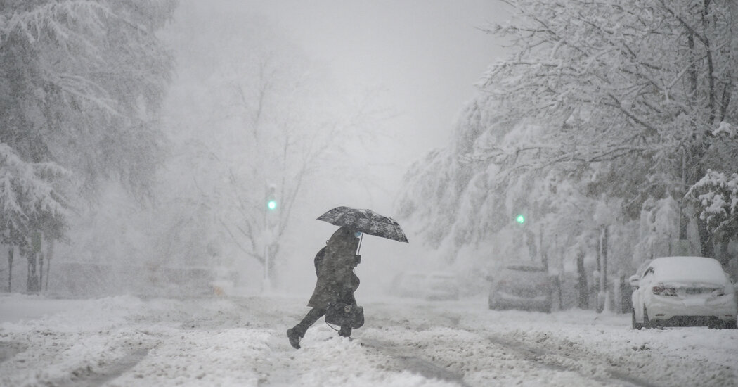
‘There’s more uncertainty than usual,’ one forecaster said.
A large winter storm was producing snow over parts of North Dakota early Friday and was expected to bring snow and ice to the South on Saturday before turning toward the East Coast, where rain and snow were likely on Sunday or Monday, according to forecasters.
Details on which East Coast cities would see snow and how much remained unclear. But some airports and transportation departments were already bracing for potential travel issues.
David Roth, a senior forecaster with the National Weather Service, said Thursday evening that meteorologists expected the forecasts to evolve.
“There’s more uncertainty than usual,” Mr. Roth said. “When we’re dealing with the difference between rain and sleet and freezing rain and snow, subtle changes make a big difference.”
By early Friday, snow was falling across parts of central and eastern North Dakota, according to the Weather Service in Bismarck. Road conditions were already quickly deteriorating, they said. Several cities were under a winter storm warning through Friday and parts of that state could see a swath of heavy snow, totaling more than eight inches, meteorologists said.
“This snow will combine with gusty winds to produce slippery, snow covered roads and significantly reduced visibility,” the Weather Service said on Twitter. “Travel will likely become hazardous to dangerous at times.”
The storm is expected to move southeast on Friday toward Iowa, where many cities will be under a winter storm warning on Friday through early Saturday. Six to 10 inches of snow are possible in northern and central Iowa, according to the Weather Service.
Southwest Airlines warned on Thursday that travelers passing through or from Des Moines International Airport could see flights delayed, diverted or canceled. Other cities under the airline’s travel advisory include St. Louis, Kansas City, Mo., and Omaha, Neb. American Airlines and Delta made similar announcements related to the weather.
The storm could bring wintry weather to parts of western Kentucky and Southeast Missouri by Friday night, with snowfall amounts of up to four inches possible, according to the Weather Service office in Paducah, Ky.
On Saturday, the storm system is expected to continue moving southeast toward upstate South Carolina, northeast Georgia, and western North Carolina. Dozens of cities in the region will be under a winter storm watch from Saturday evening through Monday morning. The Weather Service said mixed precipitation was possible in the area, with up to 10 inches of snow possible, along with possible accumulations of ice.
Dave Nadler, a meteorologist with the Weather Service office in Peachtree, Ga., said in a briefing that some ice accumulation in northern Georgia could be significant.
“We are looking at the potential for a significant winter storm,” Mr. Nadler said. “The looks of that and the confidence of that is starting to increase.”
The storm system will then head northeast toward the East Coast, Mr. Roth said. Wintry weather will be possible in several cities, including Washington, Philadelphia and New York City, but details on how much or what kind of precipitation were unclear.
“We’d be in a transition zone where it might start as snow, then go to rain, then go back to snow,” Mr. Roth said.
The uncertainty in the forecast could be unnerving for those who live along Interstate 95 in Virginia, after a snowstorm early this month left hundreds of drivers stranded in their vehicles for more than 24 hours.
Although there is uncertainty in the forecast along the I-95 corridor and to the east, the highest impacts and heaviest of any snow is expected west of the area, according to the Weather Service.
Still, the Virginia Department of Transportation was not taking any chances, and on Thursday its crews began spraying portions of I-95 with a solution of salt and brine, which helps prevent ice from bonding to roadways.
“On Sunday, drivers should avoid unnecessary travel with the chance of dangerous weather and road conditions during or even after the storm,” the department said in a statement. “Even with pre-treatment, icy to slick conditions remain possible.”
Finally, by late Sunday and into Monday, the system could bring snow to New York. Parts of upstate could record up to six inches of snow or more, but New York City will most likely not record significant snowfall amounts, the Weather Service said.

