Buffalo could receive a foot of snow on Friday, but New York City is expected to be spared the worst. Icy conditions may make commutes difficult in Boston and Portland, Maine.
A tenacious winter storm that has already canceled flights, closed schools and created slick roadways across the South and the Midwest was expected on Friday to dump snow, sleet and ice upon the Northeast.
Heavy snow is projected in northern parts of New York and New England, with ice the primary concern farther south, said Rich Otto, a meteorologist with the National Weather Service’s prediction center.
The Weather Service said late Thursday that around 1 to 8 inches of snow had accumulated so far in pockets of New York State and Vermont. Its office in Albany, N.Y., said early Friday morning that the city had started to see some sleet and freezing rain, and that the precipitation would gradually change to snow later on Friday morning.
Buffalo, N.Y., and northern Vermont could see snow accumulation of up to 14 inches, according to the Weather Service, with six to 12 inches expected across central North Hampshire.
New York City is unlikely to see snow, Mr. Otto said, but may receive some ice mixed with rain. “It looks like they’ll be spared the worst of it,” he said.
Up to an inch of sleet is expected to accumulate in parts of northern Connecticut, southeastern Massachusetts and northern Rhode Island, while Portland, Maine, could receive up to two inches. In the Boston area and across southern New England, rain would quickly turn into freezing rain, and then sleet, and could create challenging conditions for morning commuters, the Weather Service said early Friday.
Continuing cold temperatures over the coming days will keep the roads icy. More than 2,500 flights into, out of and within the United States had been canceled on Friday, with the highest number of cancellations at Dallas Fort Worth International Airport, Boston Logan International Airport and La Guardia Airport in New York, according to Flight Aware.
“That sleet is going to be a bit more difficult to clean up because were not going to get much help from warm temperatures,” said Sarah Thunberg, a meteorologist with the Weather Service in Portland.
The winter storm warnings this week have affected more than 54 million people across the country, the Weather Service said. By Friday morning, the storm had knocked out power to more than 300,000 homes and businesses, primarily in Ohio and Tennessee.
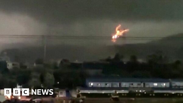
One person was killed in a tornado near Sawyerville, Ala., south of Tuscaloosa, according to Russell Weeden, the director of emergency management for Hale County. He told local reporters that eight people had been injured, including three critically.
In Memphis, ice began accumulating from a continuous freezing rain on Thursday, leading to traffic crashes, downed trees and power outages. Ice storm warnings were issued farther east, including in parts of western Tennessee and Kentucky.
The situation on the highways was more dire in Illinois, where a portion of Interstate 57 was blocked for several hours on Thursday after several tractor-trailers jackknifed.
In Texas, Gov. Greg Abbott called the storm “one of the most significant icing events that we’ve had in the State of Texas in at least several decades.” As of Friday morning, three to five inches of snow had fallen on some areas north and west of Fort Worth, Texas, according to the Weather Service.
The arrival of single-digit temperatures, snow and sleet in North Texas came nearly a year after an eight-day freeze caused widespread power outages, plunging the state into darkness and claiming the lives of more than 240 people.
Edgar Sandoval, Mike Ives and Jenny Gross contributed reporting.

