Parts of New England may see a foot of snow while dangerous ice accumulations in the Southern Plains and the Mid-Atlantic could cause power outages, meteorologists said.
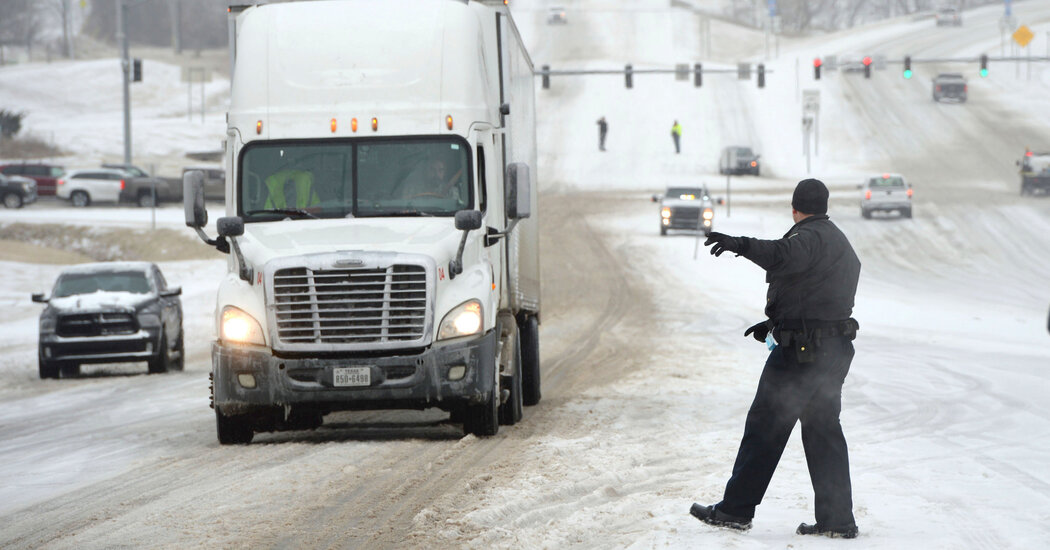
A significant winter storm was expected to create dangerous travel conditions and raise the risk of power outages in much of the Northeast on Friday, meteorologists said.
The storm could bring six inches to more than a foot of snow from central New York to central New England before tapering off at night, the National Weather Service said Friday morning. Freezing rain could bring a quarter of an inch of ice to roads from Pennsylvania through southern New England, forecasters said.
Western Pennsylvania could expect “particularly hazardous travel” and “localized power outages are likely,” the weather service said. From eastern Pennsylvania to Connecticut, “travel will be treacherous on untreated surfaces,” forecasters warned.
The storm began moving into the region early Friday after it battered the Southern Plains up to the Ohio Valley on Thursday. In the Ohio and Tennessee Valleys, where about seven million people were under a flood watch Thursday, heavy rain early Friday was expected to diminish in the morning, forecasters said.
Much of the United States will shiver through below-average temperatures this weekend, forecasters said. The exceptions will be in the southern Mid-Atlantic and the Southeast, where temperatures were expected to be well above average.
James Connolly, a meteorologist with the National Weather Service in New York, said on Thursday that the system would bring a mixed bag of weather to the New York region.
“The snow will be a concern initially, and then it’ll change over into a wintry mix, and then it’ll change over to rain,” he said, adding that areas along the coast could receive the least amount of snow. About three inches of snow was expected in the New York City area, while parts of Connecticut and the Lower Hudson Valley could get up to six inches, he said.
By Thursday evening, snow had made its way into parts of Illinois, including Chicago, and Iowa, where the Weather Service said road conditions were deteriorating quickly.
Ice glazing greater than a quarter of an inch was likely across the Ozarks and southeast Missouri, forecasters said.
The East Coast has been under an active weather pattern this winter.
In early January, back-to-back storms created perilous driving conditions in the Mid-Atlantic and Northeast, including one weather system that stranded hundreds of drivers on Interstate 95 in Virginia for more than 24 hours. The storm trapped truckers, students, families and every stripe of commuter, including Senator Tim Kaine.
In mid-January, another storm slammed the South, killing at least two people and leaving thousands without power before moving north and dropping heavy snow over parts of the Northeast and Canada. Another January storm swept through the East Coast, prompting thousands of flight cancellations and pushing the governors of New York and New Jersey to declare states of emergency. That storm dropped more than 30 inches of snow in parts of Massachusetts.
While some may be hoping that this week’s storm could finish off the winter season, Mr. Connolly warned people not to put away their shovels.
“March tends to be quite stormy,” he said. “We couldn’t say this is the last one.”
Alyssa Lukpat and Jesus Jiménez contributed reporting.

